Shipping
Monitoring for sustainable shipping
Over 70% of the earth is made of water. We help you get clarity on the impact of shipping and road routes, and emissions.
Tracking ship routes with satellite data
Ships contribute significantly to air pollution, but we can monitor and track their emissions using air quality satellite data. This allows us to see precisely where and how much pollution is being emitted and work towards reducing these emissions.
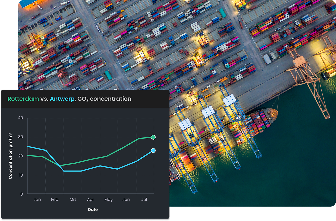
Compare port emissions
Interested to find out where two ports differ? A ‘greener’ port and lower emissions enhance the competitive position compared with other ports. Using our insightful satellite data, you know precisely what is being emitted and where.

Why choose Caeli?
Discover our greatest benefits
International
The satellites orbit the Earth and collect gas data every day, making it possible to monitor gas concentrations anywhere in the world.
Insightful
Our user-friendly dashboards provide new insights, allowing you to see which measures you can take to make your business more sustainable.
Reliable
Our uniquely developed algorithms make data from various satellites accessible, providing you with an accurate picture of gas concentrations in each area.
More information?
Interested in learning more about what Caeli can do for you? Fill out our contact form and our team will get in touch with you shortly.