Beta
Bringing satellite data to you with our API
Utilize advanced techniques for improved, accurate air quality data from satellites, ideal for monitoring trends, understanding pollution impacts, and taking action.
Get precise air quality data from satellites to track trends, assess pollution, and take action.
Benefits
Why choose the Caeli API?
Free of charge
Get satellite data and for free with no additional costs. Our API is accessible and affordable to everyone.
Seamless integration
Integrate satellite data directly into your applications and systems with ease, making it accessible and user-friendly.
All data in one place
Our API provides access to data of reactive gases from multiple satellites, offering a diverse range of information for you to use.
Simple and intuitive
The API is designed to be user-friendly and intuitive. Whether you’re a beginner or an expert, you’ll find it easy to utilize.

Inventory
Unlock insights into air quality & climate data
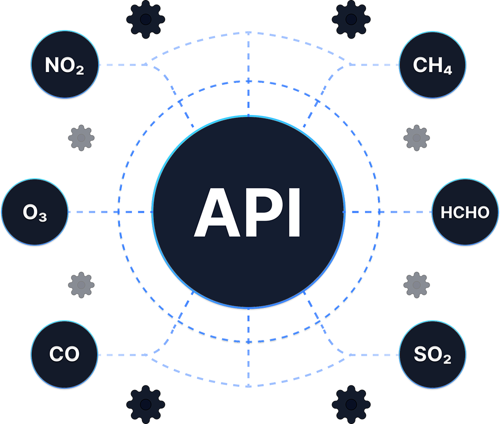
Our API provides access to essential data, including key atmospheric species like ozone, nitrogen dioxide, sulfur dioxide, carbon monoxide, methane, and formaldehyde. Stay informed on the air quality and make data-driven decisions.
Documentation
Easy integration with detailed documentation
Integrating satellite data into your applications and systems has never been easier with our API. A step-by-step guide is provided to ensure smooth integration, making it simple for everyone to use. Access a wealth of satellite information and imagery with ease.

Get started with our API
With just a few clicks, you can request access and receive a key to the Caeli API and unlock our satellite data.