Menu
You can't hide from a satellite
Caeli’s satellite data makes air quality and emissions visible, accessible, and understandable, empowering action to fight air pollution and climate change.
Trusted by
Solutions from space
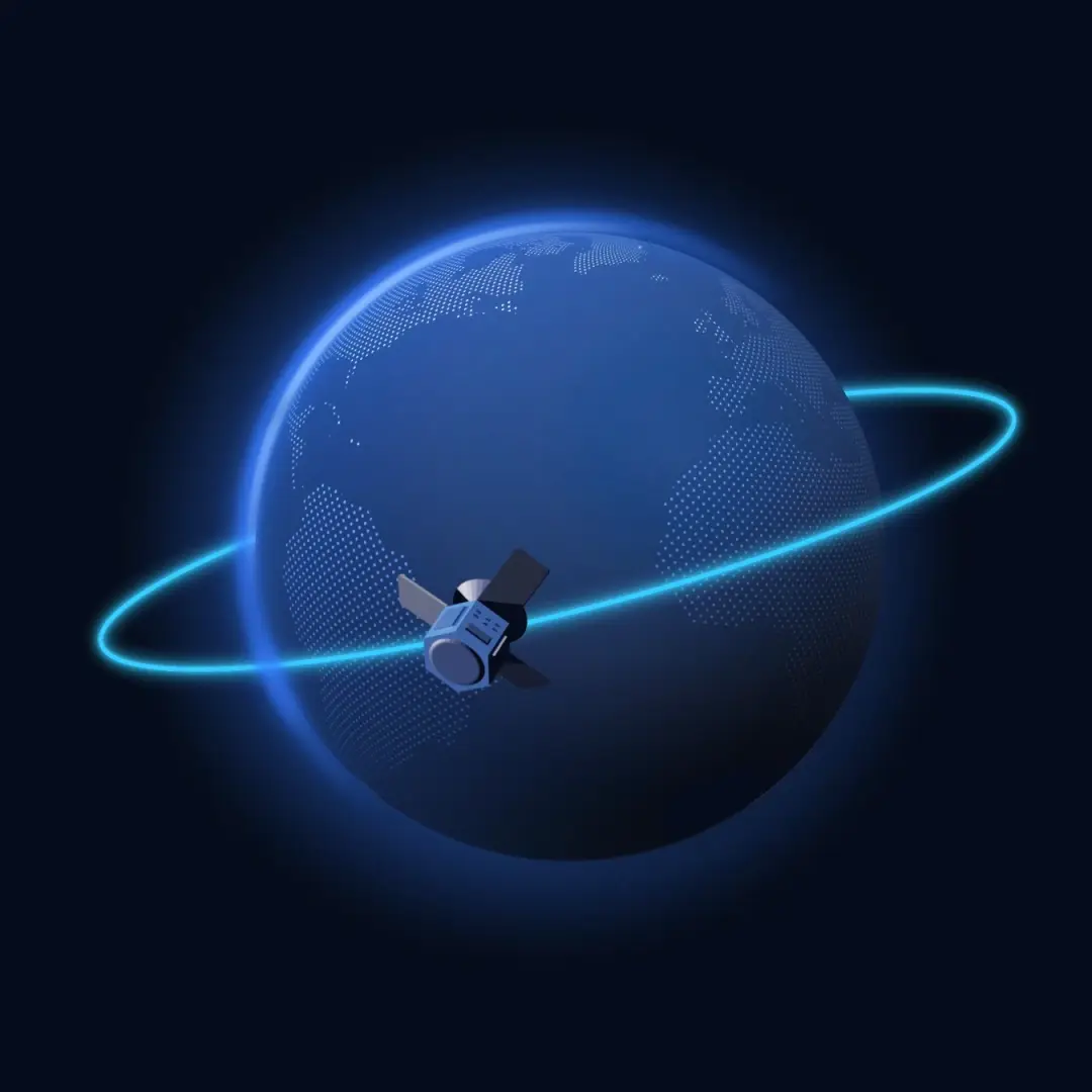
Globally mapping air quality from space
Using satellite information, we can pinpoint different gases. The gases are then presented by us, either via our API or conveniently on the map. As these gases can have impact on human health and the environment.
- Resolutions up to 100 x 100 meters
- Historical data back to 2018
- Worldwide coverage

Components
Mapping the polluting gases that affect us all
Our company provides advanced technology for gas mapping, allowing us to accurately measure and analyze the concentration of various gases in the air. With our solution, we can map the following gases:
- Nitrogen dioxide
- Ammonia
- Particulate matter
- Ozone
- Carbon dioxide
- Methane
Our methods
Translating data into information
We process and analyze the raw data, extract relevant trends, and present it through user-friendly visualization techniques such as machine learning and interactive maps.
Satellite data
Import, validate, and categorize for accurate analyses and applications.
SRA algorithm
AI-driven image enhancement for higher resolution and detail in satellite imagery.
Imputation algorithm
Fills in missing data through clouds, ensuring complete and consistent datasets.
Surface level algorithm
Transforms column data into actionable insights at the living level for relevant analyses.
Machine learning
We utilize the latest techniques with extensive data sources.
Validated data
Strong correlation with ground measurement stations ensures reliability and accuracy.
AWS infrastructure
High performance and scalability for efficient data processing and analysis with AWS.
Rapportages
Receive detailed reports and optional dashboards for clear and fast insights.
Products
Choose the right plan for you
To help you solve air pollution and climate related issues, we provide several products to deliver insights.
Carbon Emission Monitor
Visualising carbon dioxide emissions every place you desire.
- Carbon dioxide data
- Monitor asset emissions
- Quarterly emissions reporting
- Reduce carbon footprint
Air Quality Monitor
Track local air quality for better decision-making.
- NO2 and Particulate matter data
- Identifying air pollution sources
- Monitoring WHO guidelines
- Improving community health
Nitrogen Insights Monitor
Insights into the nitrogen with ammonia and nitrogen dioxide.
- Nitrogen dioxide and Ammonia
- Data on surface level
- Monitoring by area
- Make policy decisions
Want more information?
Curious about what else Caeli can do for you? Let us know how we can help you by filling in our contact form, and our team will be at your service.